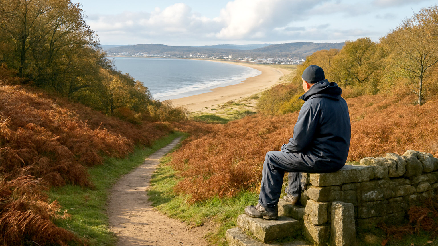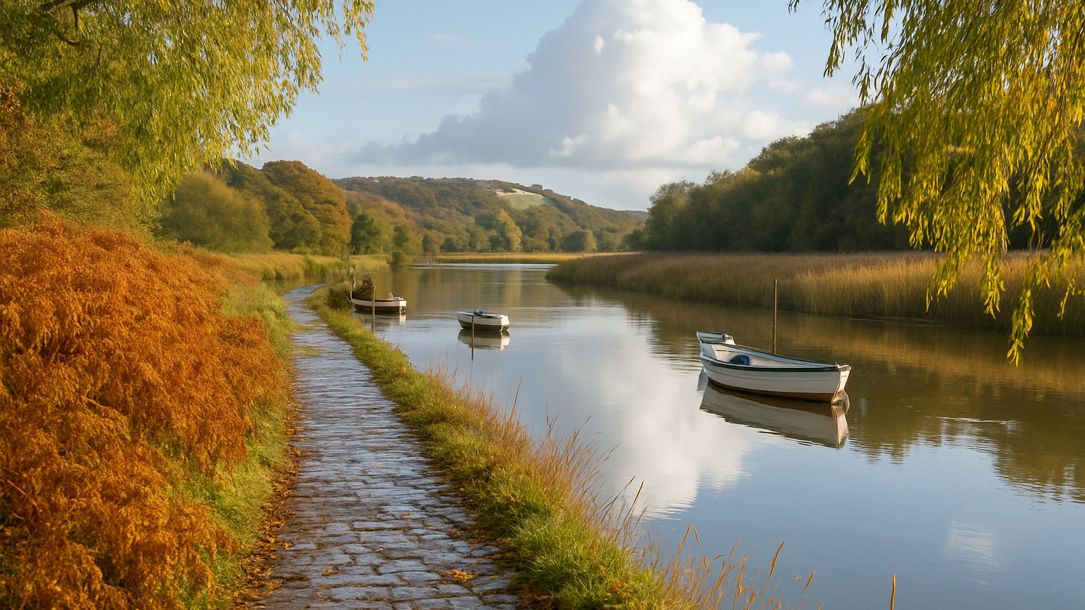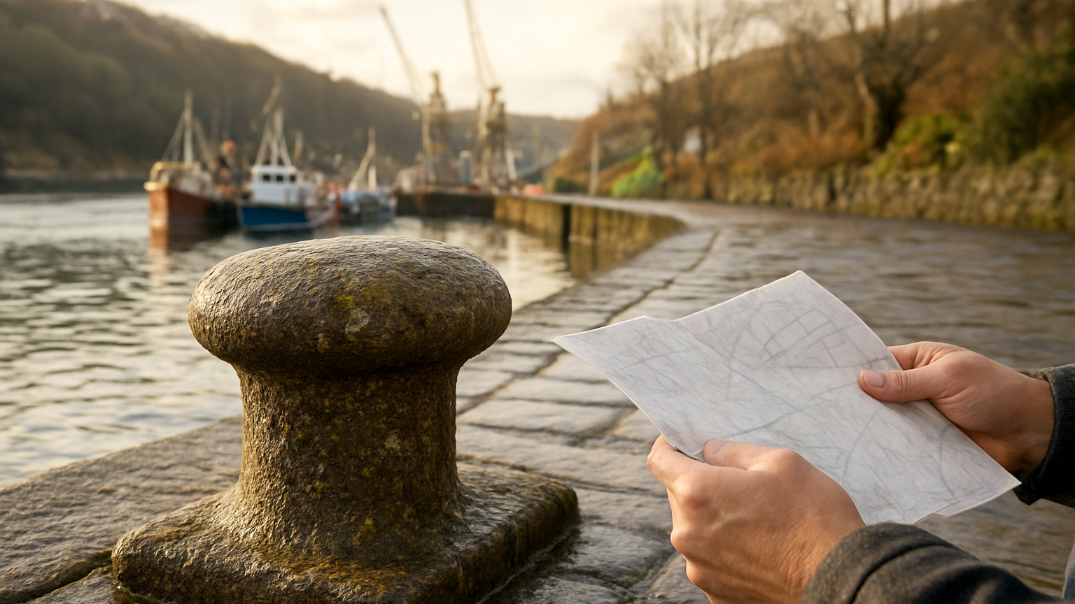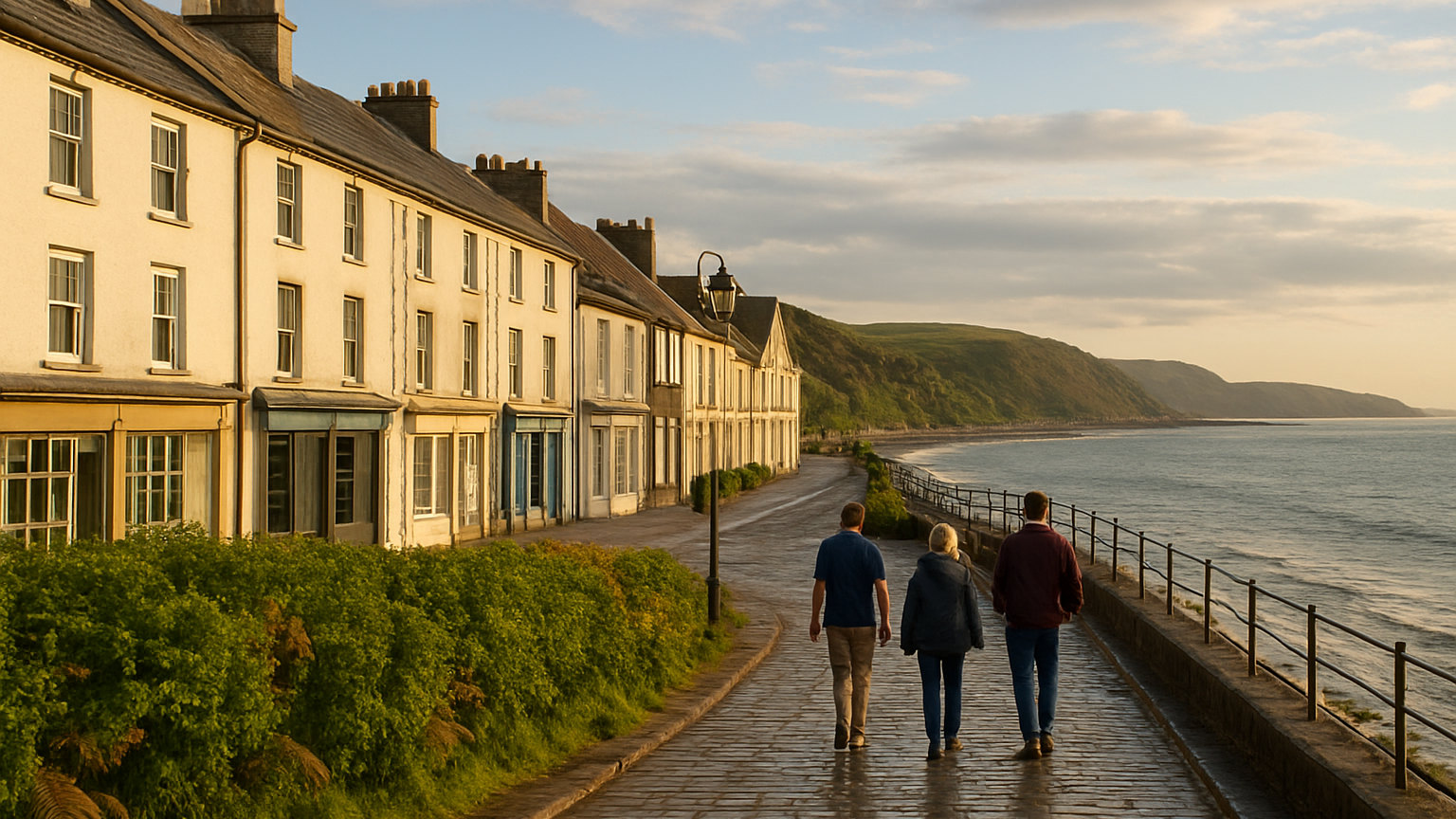
The Wales Coast Path runs for around eight hundred and seventy miles from Chepstow on the Severn estuary to Queensferry near the English border in the north. When it opened, Wales became the first country in the world with a continuous walking route along its entire coastline, and combined with Offa's Dyke it makes a complete circuit of the country possible on foot.
How long does the whole path take?
Most people who walk it continuously take between six and ten weeks, depending on daily distance and rest days. At fifteen miles a day it is around two months of walking.
Very few walk it in one go. The overwhelming majority tackle it in sections over several years, or walk a single national trail length section as a holiday in its own right.
Is it flat?
No, and this is the most common misconception. The total ascent over the full route is substantial, because the path repeatedly climbs onto headlands and drops into valleys and coves. Some coastal days involve more climbing than a mountain day.
Sections through estuaries and around industrial coast are genuinely level. The cliff sections in Pembrokeshire, the Llyn and Ceredigion are not, and daily distances should be planned accordingly.
Which sections are the best?
Pembrokeshire is the outstanding stretch and the only part that is a designated national trail in its own right, with limestone cliffs, arches and beaches over around a hundred and eighty miles.
The Llyn Peninsula is the quietest of the good sections, with a strongly Welsh speaking character, small coves and views back to Eryri. Anglesey circles the island on a well maintained route with lighthouses and sea cliffs. Ceredigion has dolphins offshore and steep, empty cliffs.
Which sections are weaker?
Parts of the north Wales coast between Prestatyn and Llandudno follow the promenade and the railway rather than open coast, and the stretch around the Dee estuary and Deeside is industrial and urban.
Some of the south Wales coast around Newport and Cardiff follows sea walls and estuary levels. These are not unpleasant but they are functional links rather than destination walking, and most section walkers skip them.
How do you plan a shorter stretch?
Pick a section with a bus or train running parallel, walk one way and ride back. The Cardigan and Pembrokeshire coastal bus services and the Cambrian rail line along the mid Wales coast make this straightforward for a large part of the route.
A week of linear walking with baggage transfer is the other common approach, and several companies arrange accommodation and luggage transport along the popular sections. Pembrokeshire and the Llyn are the best served.
What is the waymarking and terrain like?
Waymarking is consistent, using a distinctive dragon shell symbol, and the route is well maintained by the coastal authorities. Navigation is rarely difficult since the sea stays on one side.
Underfoot conditions vary from surfaced promenade to muddy cliff top. Sections are occasionally diverted after landslips, which are common on the softer coasts after winter storms, and diversions are signed on the ground and published online before you set out.
When is the best time to walk it?
April to June for wildflowers, seabirds, long daylight and the driest weather. September for warm sea and quieter paths. July and August are perfectly walkable but accommodation along the popular sections is scarce and expensive.
Winter walking is possible on the lower sections but cliff paths in high wind are genuinely dangerous, and short daylight limits daily distance. Whatever the season, book accommodation ahead on the remote stretches, where the choice can come down to a single option in a village.
One further practicality is water and food. Several sections run for ten miles or more with nothing open, particularly out of season, and relying on finding a pub at lunchtime is how people end up walking the last few hours hungry. Carry enough for the day and top up in the towns.