Driving is the only practical way to see most of the Highlands, and the roads are unlike anything in southern Britain. Long empty stretches, single track sections with passing places, unfenced livestock and weather that changes within a few miles all make the driving slower and more demanding than the distances suggest, though rarely difficult for anyone paying attention.
How do single track roads work?
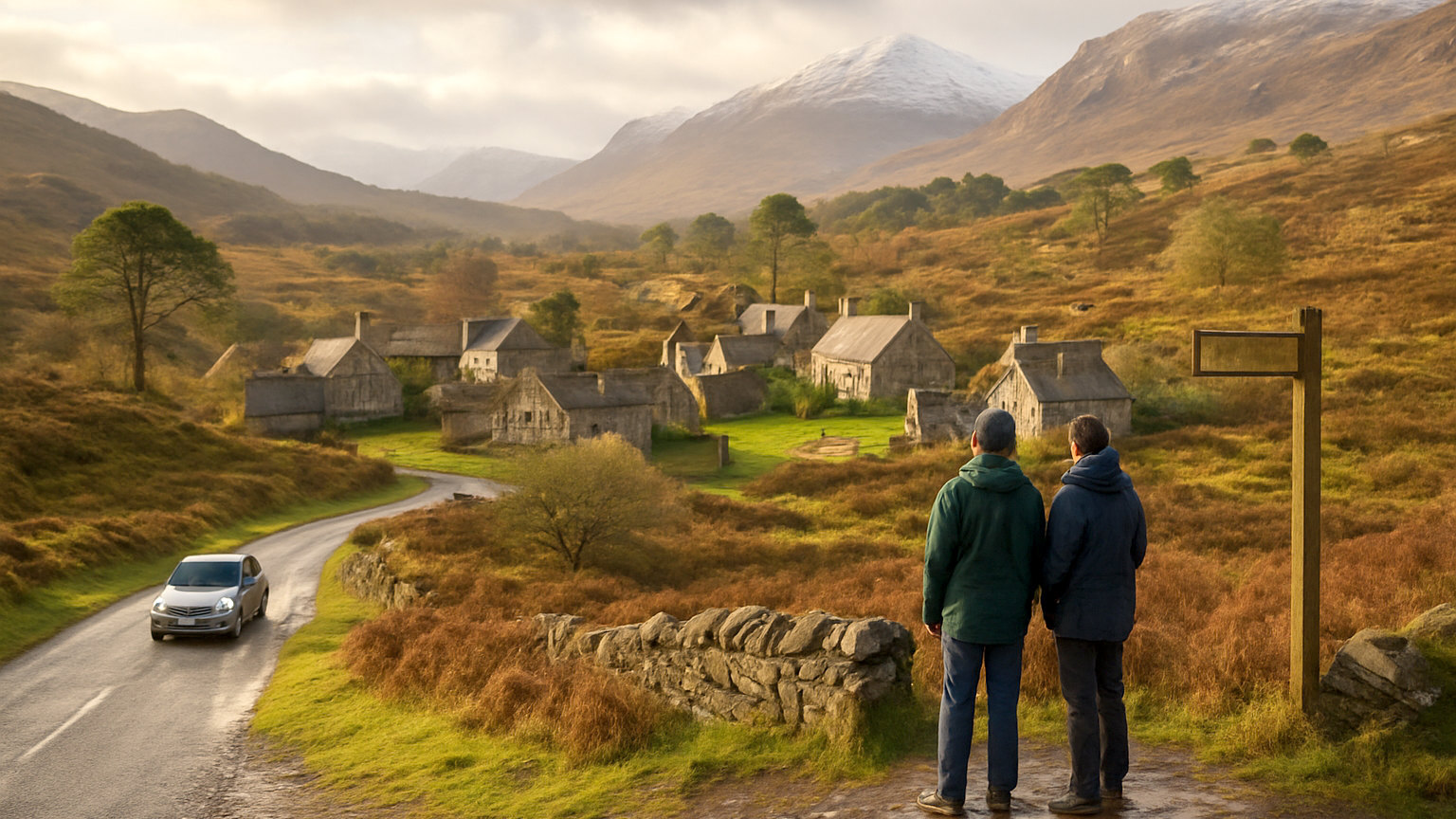
A single track road is one lane wide with marked passing places at intervals, usually signed with a black and white pole or a diamond. When you meet an oncoming vehicle, whoever is nearest a passing place uses it: pull into it if it is on your left, or stop opposite it if it is on your right and let the other vehicle come through.
The convention is to acknowledge the driver who waited, usually with a raised hand. It costs nothing and it is universal.
What is the rule about traffic behind you?
Pull in and let it past. Local drivers use these roads to get to work, to school and to hospital appointments, and a queue of six vehicles behind a slow moving visitor is the single most common cause of friction on Highland roads.
Passing places are for passing, not for parking or for photographs. Stopping in one to admire the view blocks the road for everyone, including emergency vehicles.
How long do journeys actually take?
Longer than a route planner says. On single track roads an average of twenty five to thirty miles an hour is realistic once you include passing, sheep and stops. On the better A roads sixty is possible but rarely sustained.
As a working rule, add a third to any estimate for the west and north west, and plan on no more than three hours of driving in a day if you intend to do anything else. Distances that look trivial on a map, such as Inverness to Durness, take most of a morning.
What are the main hazards?
Sheep and deer on unfenced roads, at any hour but especially at dawn and dusk. Deer collisions are common and can be serious. Blind summits and blind bends on single track roads, where you should assume something is coming. Cyclists and motorhomes on narrow sections.
Loose gravel, potholes and cattle grids are routine. Some of the steeper passes, notably the Bealach na Bà to Applecross, have hairpins and gradients that hire agreements and motorhome insurers sometimes exclude.
How far apart are fuel stations?
Far, in the north and west. Some communities have a single pump that closes in the evening and on Sundays, and stretches of eighty miles without fuel exist. Fill up when you reach half a tank rather than when the light comes on.
Electric charging has improved considerably but coverage in the far north west is still thin and chargers are occasionally out of service. Plan charging stops in advance and have a fallback rather than relying on the next one along the route.
What about mobile signal and navigation?
Signal is absent across large areas, including parts of the main routes. Satellite navigation that streams its maps will fail, so download offline maps before leaving a town, and carry a paper road atlas as a backup.
Navigation apps also route drivers down forestry tracks and farm roads that are technically shorter and practically unsuitable. If a road narrows to grass down the middle and the surface deteriorates, it is usually right to turn back.
Is winter driving manageable?
With preparation, yes, though it is a different proposition. Snow closes the high passes and occasionally the A9 and A82, ice is common on shaded single track sections, and daylight is short enough that much of the driving happens in the dark.
Check road conditions before setting out, carry warm clothing, food and a torch, and be prepared to change plans. Winter tyres are not required but are a genuine advantage on rural roads. Most importantly, allow far more time than a summer estimate suggests.