The Mourne Mountains occupy a compact area of County Down, rising abruptly from the Irish Sea to just under three thousand feet at Slieve Donard. The range is small enough to cross on foot in a day and rugged enough to feel like a proper mountain area, and it holds the highest ground in Northern Ireland by a comfortable margin.
What is the landscape like?
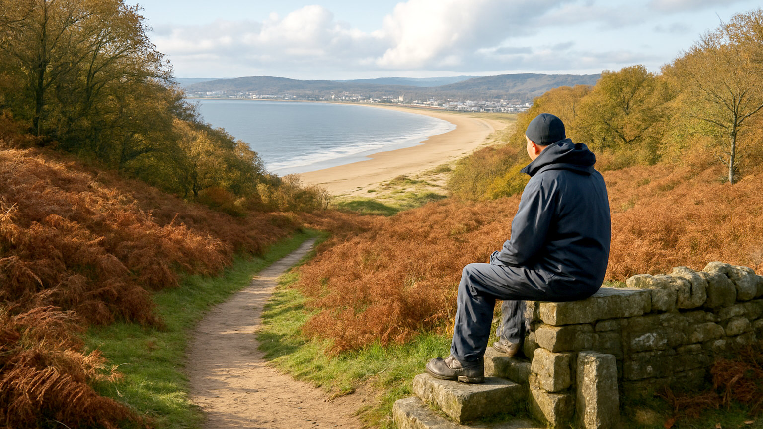
Granite, and unmistakably so. The peaks are rounded domes and steep sided cones separated by deep valleys, with slabs and tors of bare rock and very little vegetation on the higher ground. Heather and rough grazing cover the lower slopes.
The absence of trees and the closeness of the sea give the range an open, exposed character. From the summits you can see the Isle of Man, the Wicklow Mountains and, on a clear day, the coast of Scotland and Wales.
What is the Mourne Wall?
A dry stone wall around twenty two miles long, built in the early twentieth century to enclose the catchment area supplying Belfast with water. It runs over fifteen summits and was constructed entirely by hand over about eighteen years.
It is up to eight feet high in places and is a remarkable piece of work. It also serves as a navigational handrail in poor visibility, which is genuinely useful, and the Mourne Wall Challenge follows its full circuit as a long and demanding day.
How do you climb Slieve Donard?
The standard route starts from Donard Park in Newcastle and follows the Glen River up through woodland before climbing to the col between Donard and Commedagh, then turning right alongside the wall to the summit.
It is around five miles there and back with a little under two thousand eight hundred feet of ascent, and takes most walkers four to five hours. The path is clear but relentlessly uphill, and the upper section is loose and eroded. Starting from sea level means the full height is earned.
Are there easier walks?
Yes. The Silent Valley reservoir has surfaced paths, a visitor centre and gentle walking around the water with mountains rising on all sides, and it suits families and anyone not looking for ascent.
Tollymore Forest Park and Castlewellan Forest Park both sit at the foot of the range with waymarked trails through woodland, a lake and follies. The coastal path from Newcastle and the walks around Bloody Bridge give mountain views without the climb.
How serious is the walking?
More serious than the modest heights suggest. The tops are open and featureless in cloud, the weather comes off the sea and changes fast, and paths on the higher ground are indistinct or absent away from the main routes.
Navigation with map and compass is a real requirement rather than a formality, and mountain rescue is called out here regularly to walkers who set off in trainers with a phone as their only aid. Take proper footwear, waterproofs, warm layers, food and a paper map.
Where should you base yourself?
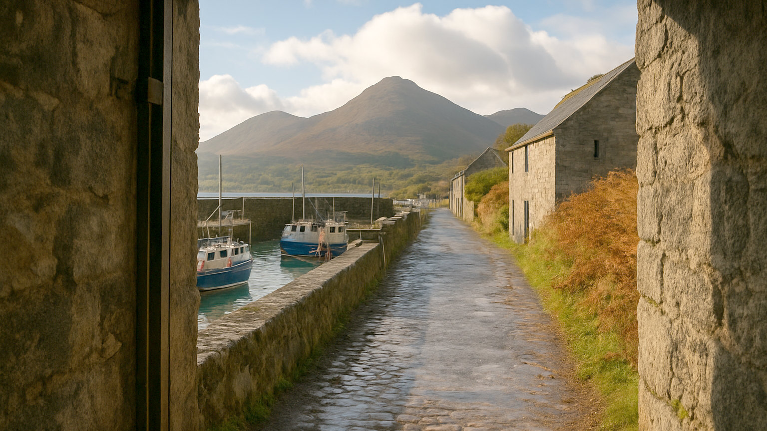
Newcastle is the natural centre, a seaside town directly beneath Slieve Donard with the widest choice of accommodation and food and easy access to the main paths. It is busy on summer weekends.
Rostrevor and Kilkeel serve the southern and western side of the range and are quieter. Both put you close to Carlingford Lough and within reach of the Republic across the water.
What else is the area known for?
The Mournes are widely credited as an inspiration for the landscape of Narnia, since C. S. Lewis grew up in Belfast and knew them well, and the Rostrevor area markets that connection.
The range also holds a mountain biking trail centre at Rostrevor, sea swimming at Newcastle and Cranfield, and one of the better stretches of the Northern Ireland coast for a day that mixes hills and beach. In September the heather and the light make it the best month of the year here.