Anglesey, or Ynys Mon, sits off the north west corner of Wales, separated from the mainland by the narrow Menai Strait and connected by two bridges. It is the largest island in Wales and, unusually for a British island, requires no ferry, which makes it one of the easiest island holidays in the country.
How does it differ from mainland Wales?
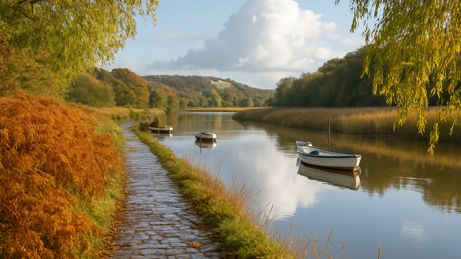
Topographically it is a surprise. After the mountains of Eryri immediately across the water, Anglesey is low, gently rolling farmland with a rocky coastline, and the contrast is abrupt. The island historically supplied grain to the mountains and was known as the mother of Wales for that reason.
It is also strongly Welsh speaking, with a high proportion of the population using Welsh daily, and it is noticeably quieter than the Llandudno and Conwy coast opposite.
What is the coast path like?
Around a hundred and thirty miles running the full circuit of the island, forming part of the Wales Coast Path and designated an area of outstanding natural beauty for almost its entire length.
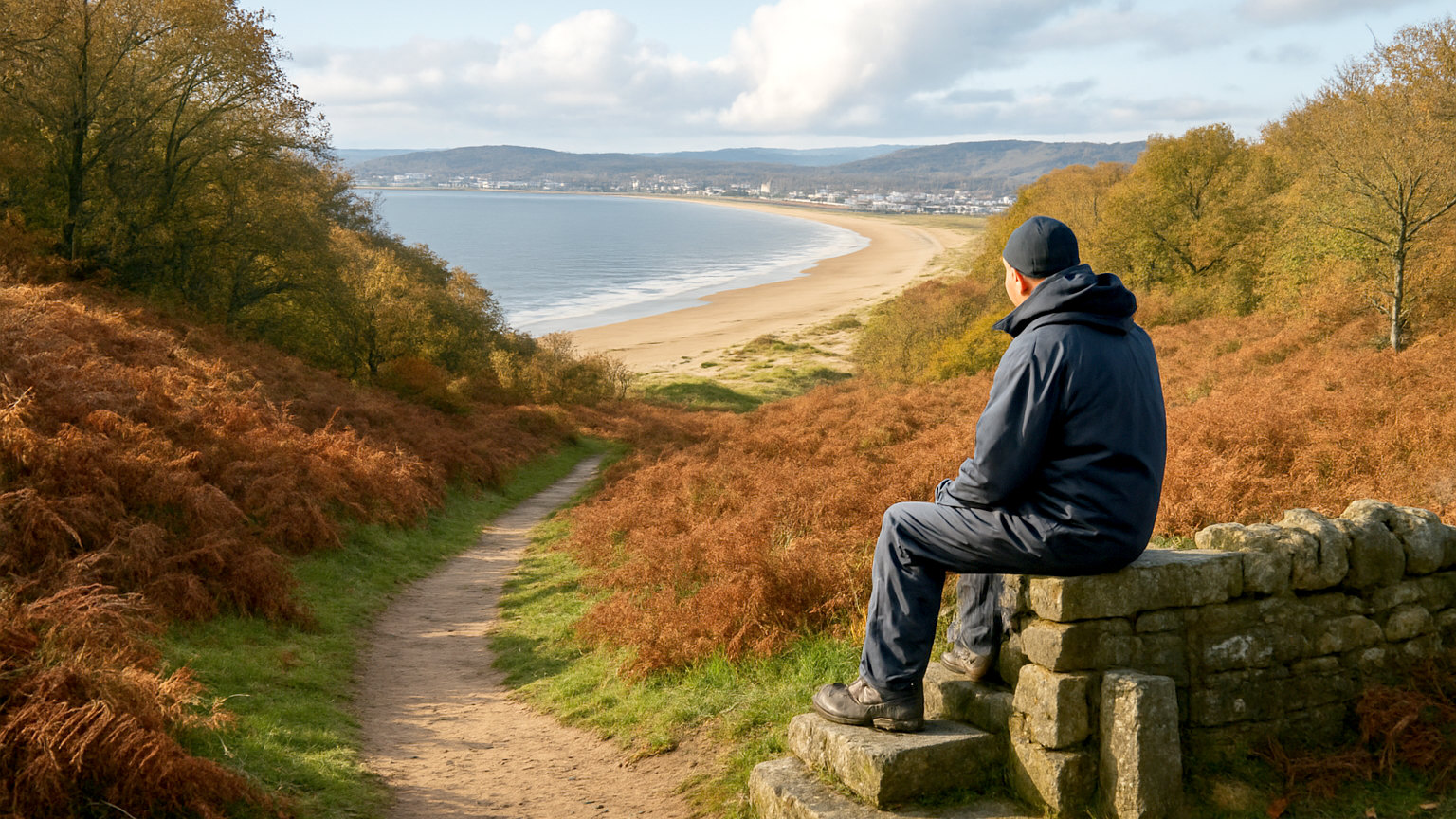
It is more varied than the modest inland scenery suggests: sea cliffs at South Stack, dunes at Newborough, sheltered coves on the east coast and long sands in the north. Most walkers do it in ten to twelve days, and it breaks easily into day sections with a bus back.
What should you not miss?
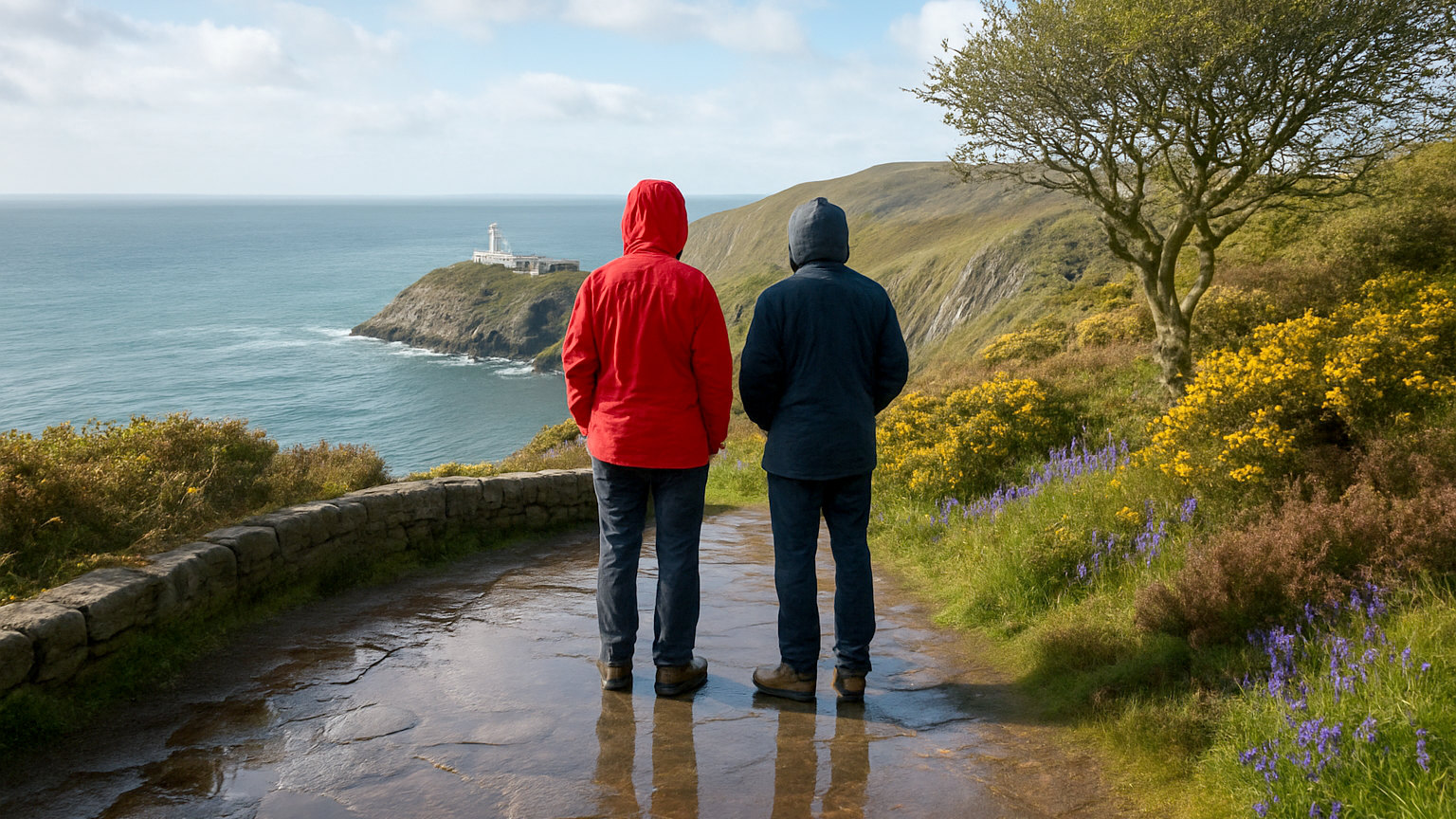
South Stack, where a lighthouse sits on an islet reached by a long flight of steps down the cliff, with seabird colonies on the ledges and choughs overhead. Newborough Warren and the walk out to Llanddwyn Island, a tidal peninsula with a ruined chapel and views to Eryri.
Beaumaris has a castle, the last and most technically perfect of the Edwardian castles in Wales and part of a World Heritage group, along with a Victorian gaol and courthouse.
Which beaches are best?
Llanddwyn and Newborough for the setting, with mountain views across the water. Rhosneigr for watersports and a sandy village beach. Trearddur Bay for a family beach with facilities. Lligwy and Benllech on the east coast for shelter and easy access.
The island has a great many small coves that never appear in guides, and the coast path is the way to find them. Water quality is generally good and the east coast is markedly more sheltered than the west.
What about the long place name?
Llanfairpwllgwyngyllgogerychwyrndrobwllllantysiliogogogoch, on the mainland side of the island near the bridge, has the longest place name in Europe. It was extended in the nineteenth century as a deliberate attempt to attract railway passengers, which worked and continues to.
There is a railway station sign to photograph and little else, so treat it as a five minute stop rather than a destination.
Where should you base yourself?
Beaumaris for history and views across the strait, with the best concentration of restaurants. Rhosneigr or Trearddur Bay for beaches and watersports. Holyhead for the ferry to Ireland but little else.
The island is small enough that anywhere works, with the longest drive across it under an hour. Menai Bridge and Bangor on the mainland side put you close to both the island and Eryri.
Who does it suit?
Families, walkers, watersports enthusiasts and anyone who wants a coastal holiday within reach of mountains. It works particularly well as a base for a trip that includes Eryri, since Bangor is fifteen minutes away and the mountains under an hour.
It is busiest in July and August and pleasant but quiet from April to June and in September, when the beaches empty and prices fall. Ferries to Dublin run from Holyhead, which makes combining Wales and Ireland straightforward.
How do you get there?
By road across either the Menai Suspension Bridge, designed by Telford and opened in 1826, or the Britannia Bridge carrying the A55 expressway. Trains run along the north Wales coast to Bangor, Llanfairpwll and Holyhead, which makes a car free trip feasible for the east of the island, though buses to the beaches and South Stack are less frequent than drivers expect.