Rainfall in Britain is distributed far more unevenly than most visitors realise. The wettest inhabited places receive several times what the driest do, and the two are only a few hundred miles apart, which makes the geography genuinely useful for planning.
Why does the west get so much more rain?
Prevailing weather arrives from the Atlantic carrying moisture. When that air meets high ground on the western side of Britain it is forced upwards, cools and releases its water as rain.
By the time the same air reaches the east it has lost most of its moisture and descends, warming and drying. This rain shadow effect produces the difference.
Where is wettest?
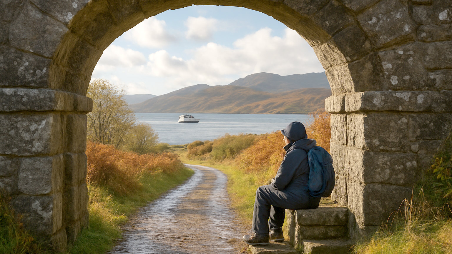
The western uplands. Parts of the Lake District, Eryri and the western Highlands receive very high annual totals, with the wettest inhabited spots in the Lake District among the wettest in Europe.
Fort William, Borrowdale and the mountains of north Wales all sit in this category. These are also, not coincidentally, some of the most dramatic landscapes in Britain.
Where is driest?
Eastern England, particularly Essex, Cambridgeshire, Kent and parts of Lincolnshire and Suffolk, which receive around a fifth of what the wettest western areas do.
Parts of eastern England are dry enough that water supply is a genuine constraint, which surprises people who think of Britain as uniformly damp.
Where is sunniest?
The south coast, particularly around Sussex, Hampshire, Dorset and the Isle of Wight, which record the highest annual sunshine hours in Britain.
Sunshine and rainfall are not simply opposites, since the east can be dry and grey while the west can be wet and bright between showers.
What about Scotland?
The same pattern, more extreme. The west coast and the Highlands are very wet indeed; Aberdeenshire, the Moray coast and the eastern lowlands are among the drier parts of Britain.
Moving from Fort William to Aviemore, a couple of hours by road, roughly halves the rainfall, which is a genuinely useful option on a Highland trip.
Does this help with planning?
Considerably. A poor forecast for the west frequently does not apply to the east, and a trip that can shift direction has a real advantage.
Choosing the drier side for a summer trip, or building an itinerary that includes both, gives options that a single fixed base does not.
What about rain days versus rainfall?
Different measures that lead to different conclusions. The east has fewer millimetres but a considerable number of days with some rain, since British rain is frequently light and brief.
For a walking trip, the number of wet days matters more than the total. For a boating or gardening perspective, the totals matter more.
Are the wet places worth visiting?
Obviously, since they contain the finest scenery in the country. The rain is what makes the Lake District green and the Highland glens dramatic.
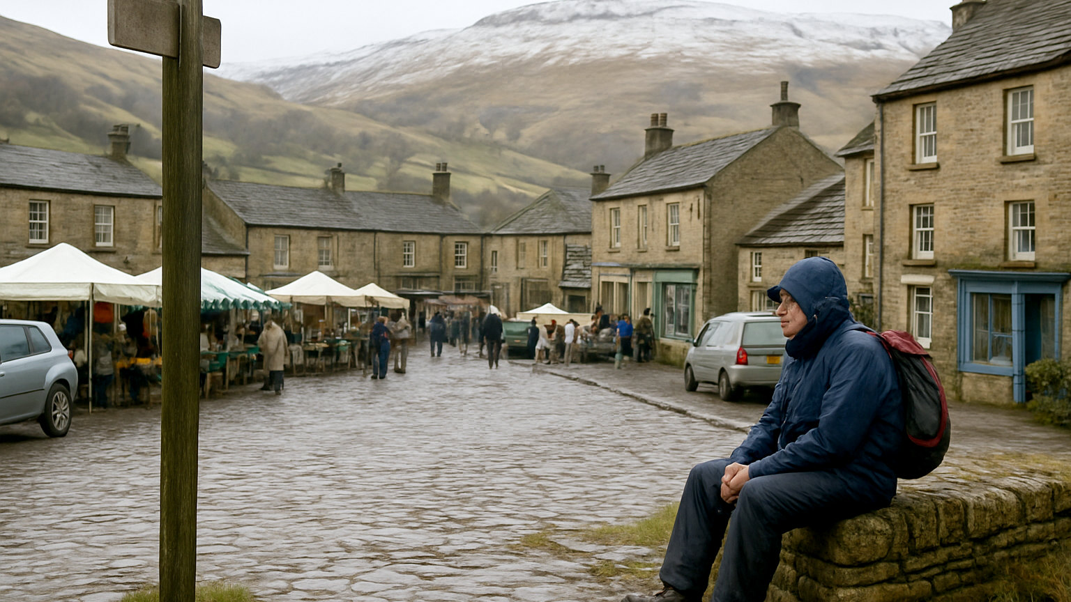
The practical implication is equipment rather than avoidance. Proper waterproofs in Cumbria matter more than in Norfolk, and a wet week there is normal rather than unlucky.
Which months differ most?
Autumn and winter, when Atlantic systems are most active and the western totals rise sharply. Spring is the most evenly distributed and the driest overall.
Summer in the west is wetter than spring, which is why May and June are so consistently recommended for the mountains.
How should you use this?
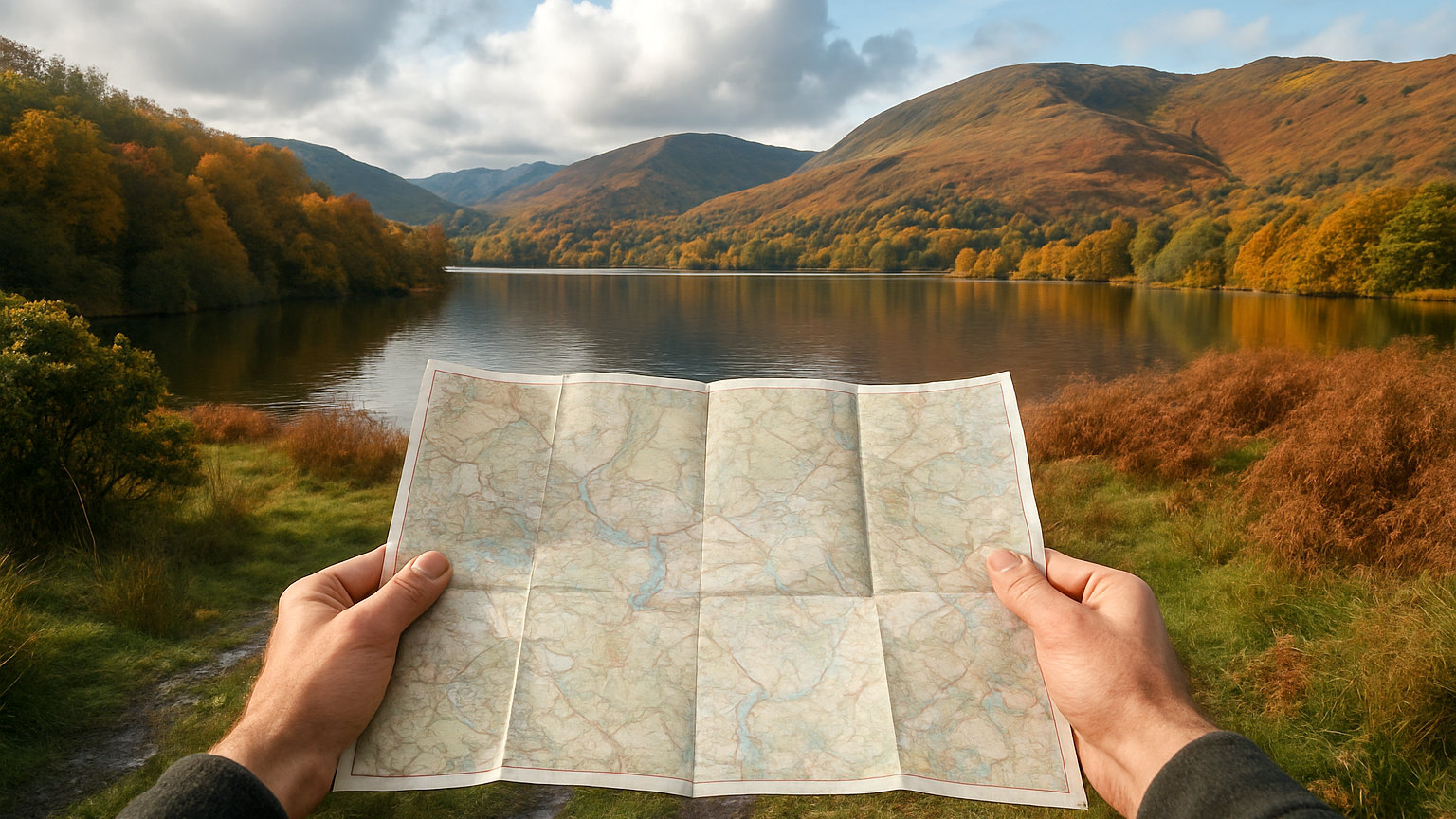
If the trip is fixed to the west, pack for it and plan indoor alternatives. If it is flexible, watch the forecast and move east when a front comes in.
And if you want the best odds of dry weather in Britain, go to the east coast in late spring, which is the driest combination the country offers.
What about wind and exposure?
The western and northern coasts are also the windiest, which compounds the rainfall for anyone outdoors. Western Scotland, the Hebrides and the north coasts record very high average wind speeds, while sheltered eastern valleys are markedly calmer. For camping, cycling and coastal walking, wind is frequently a bigger constraint than rain and is worth checking separately.