Cambridgeshire is flat, which shapes everything about moving around it. Cycling is easier here than almost anywhere in Britain, the railway junctions at Ely and Peterborough send trains in every direction, and the county has the longest guided busway in the world.
What are the rail connections?
Cambridge has services to King's Cross and Liverpool Street, with the fastest reaching King's Cross in around fifty minutes, and a second station at Cambridge North.
Ely, fifteen minutes further, is a junction with lines to Norwich, Ipswich, Peterborough and King's Lynn, which makes it far more important than its size suggests.
What is at Peterborough?
A major stop on the east coast main line, with London under an hour and fast services to Yorkshire and Scotland, plus connections west to Birmingham.
It is the practical gateway for the north of the county and for Stamford just over the boundary.
What is the guided busway?
A concrete track for buses running on the route of a former railway between Huntingdon, St Ives and Cambridge, the longest of its kind in the world.
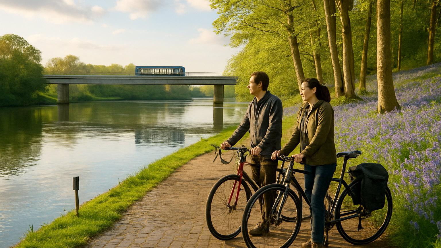
Buses steer themselves along the guideway and join ordinary roads at each end. A path runs alongside for walkers and cyclists, which is flat and traffic free.
Is Cambridge good for cycling?
It has the highest cycling rate of any British city, with a large proportion of journeys made by bike, extensive infrastructure and hire everywhere.
It is also fast and confident cycling, so it is not the gentlest place to ride for the first time in years. Lock everything properly, since theft is a real problem.
Should you drive into Cambridge?
No. The centre is largely closed to cars, parking is scarce and expensive, and the road system is designed to discourage it.
Five park and ride sites ring the city with frequent buses, and using one is the sensible approach.
How far is the station from the centre?
Around a mile, which surprises people arriving with luggage. Buses and taxis run from outside, and the walk takes twenty minutes.
Cambridge North is further out and serves the science and business parks rather than the colleges.
How do you reach Stansted?
By direct train from Cambridge in around half an hour, which makes flying into Stansted a practical way to reach the area from Europe.
Services run frequently and connect onward to Ely and beyond.
What is cycling in the fens like?
Flat, straight and exposed, with long droves running between drains and enormous skies. The only hill you will meet is the wind.
Several waymarked routes cross the county, and the flatness makes long distances easier than they would be anywhere else.
How do you reach the villages?
With difficulty by public transport, since bus services outside the main corridors are limited and Sunday provision is poor.
Wicken Fen, Anglesey Abbey and the smaller fen villages realistically need a car or a bicycle.
What about the waterways?
The Great Ouse and the Cam are navigable, with boat hire, punting in Cambridge itself and moorings at Ely and St Ives.
Punting is best done chauffeured unless you want to entertain the people on the bridges.
What should you know about the roads?
The A14 across the county is busy with freight heading to and from the east coast ports, and the A1 runs through the west.
Fen roads are straight, narrow and frequently have deep drains immediately beside them with no barrier, which demands care in fog and ice.
What about Peterborough and the north?
The north of the county is a different place from Cambridge, with Peterborough a substantial city holding a cathedral of considerable importance and a Norman nave with a painted wooden ceiling. Wisbech, March and Whittlesey sit in the fens beyond, reached by slow lines and quiet roads, and receive almost no visitors at all.
One last practicality: the guided busway path is among the best traffic free cycle routes in eastern England, running roughly sixteen miles beside the guideway, and it is free.