The Pennines run down the spine of northern England and a limited number of roads cross them. Several are among the finest moorland drives in the country, several close regularly in winter, and all of them take longer than the distance suggests.
Which are the main crossings?
The Snake Pass and the Woodhead road, both linking Manchester and Sheffield across the Dark Peak, and both crossing high exposed moorland with no settlement between the ends.
Further north, the trans Pennine route across Stainmore between the Eden Valley and Teesdale, which is a main road and the busiest crossing.
What is the Snake Pass like?
A winding road over the moors between Glossop and the Ladybower reservoir, engineered in the early nineteenth century and named after an inn rather than its shape.
It closes frequently in snow, is prone to landslips and has periodically been shut for repairs. Check before relying on it in winter.
Which is the most scenic?
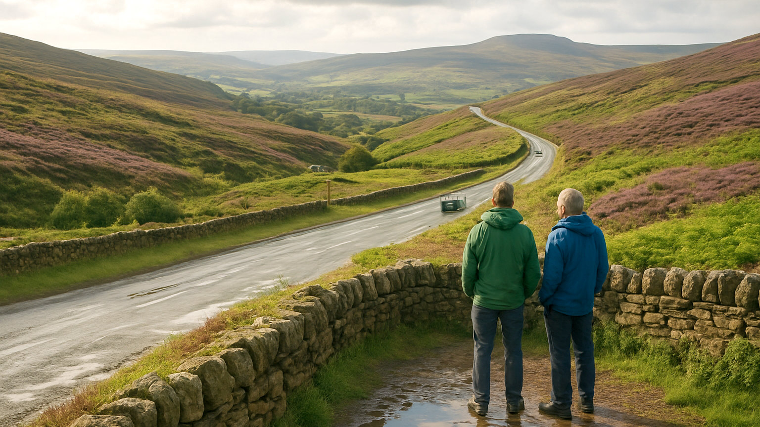
The Buttertubs Pass between Wensleydale and Swaledale in the Yorkshire Dales, climbing over open fell with enormous views and passing the limestone shafts it is named after.
It is narrow, steep in places and among the most enjoyable short drives in England.
What about the Cat and Fiddle?
The road between Macclesfield and Buxton across the Peak District moors, high, exposed and once notorious for accidents, now with average speed cameras along much of it.
It is a fine drive taken at a sensible pace and is regularly closed by snow and ice in winter.
Which northern crossings are worth taking?
The road across from Alston over the fells, which reaches a high summit with views over the Eden Valley to the Lakeland fells beyond, and passes through the highest market town in England.
The Weardale and Teesdale roads, which cross former lead mining country at considerable altitude and are among the emptiest roads in England.
What closes in winter?
All the high crossings, regularly. Snow, ice and drifting close the Snake, Woodhead, Cat and Fiddle, Buttertubs and the northern fell roads several times most winters.
Closures happen with little warning and can strand vehicles. Check road conditions rather than only the forecast before crossing.
What is the Mam Tor road?
A former main road near Castleton abandoned in the nineteen seventies after repeated landslips defeated attempts to maintain it, and now a broken and buckled ruin that can be walked.
It is a striking demonstration of what the geology does to roads in this area and is worth the short walk from the car park.
What should you expect on these roads?
Exposure, weather that differs sharply from the valleys, sheep on unfenced sections and gradients that test heavily loaded vehicles.
Also fog, which sits on the tops when the valleys are clear, and standing water and ice in the same conditions.
When are they best?
Late summer, when the heather flowers and turns whole hillsides purple for a few weeks in August. Autumn for colour and low light.
Clear winter days are spectacular and the conditions need respecting. Avoid the popular crossings on summer weekends when they carry heavy leisure traffic.
Which should you drive?
The Buttertubs for the best scenery in the shortest distance, and the Alston crossing for emptiness and altitude.
Both are short enough to be part of a day rather than the whole of it, which is how moorland roads are best used.
What about the towns at either end?
Frequently as interesting as the crossing. Alston, Hawes, Reeth, Glossop and Buxton all sit at the ends of these roads and are worth stopping in rather than driving through. The Pennine towns were built on lead, wool and stone, and several have museums covering industries that shaped the landscape you have just driven across.
One last point: these roads carry a great deal of freight as well as leisure traffic, since they are the only routes across for miles. Expect heavy vehicles climbing slowly and be patient rather than overtaking on a blind moorland summit.