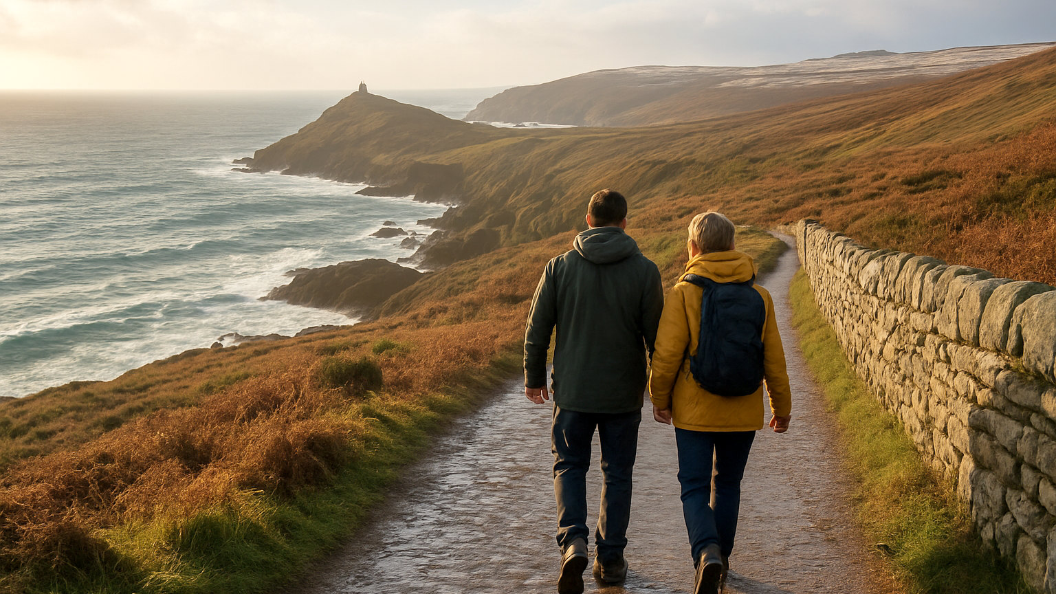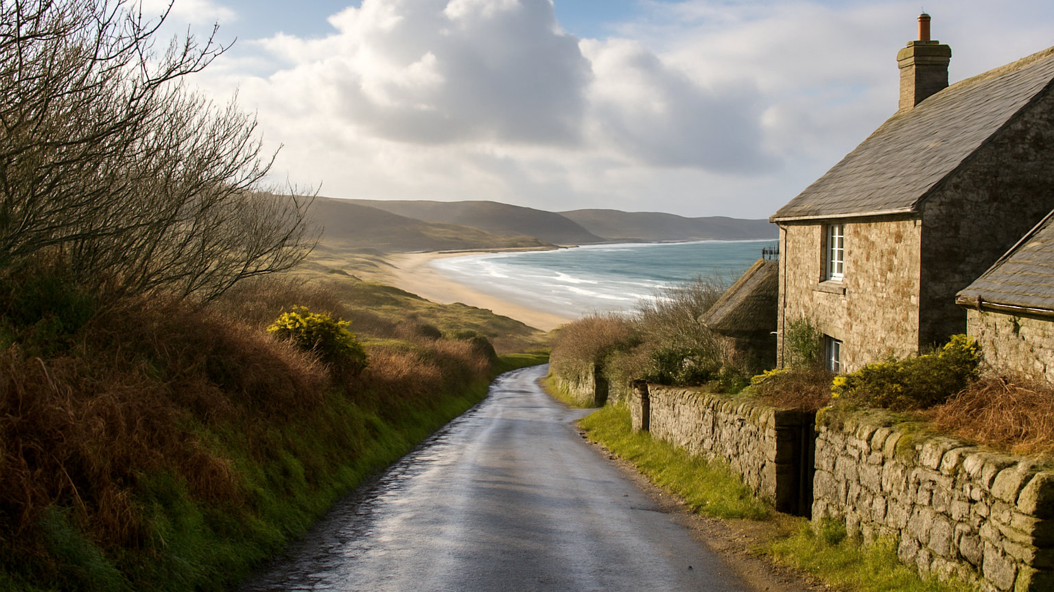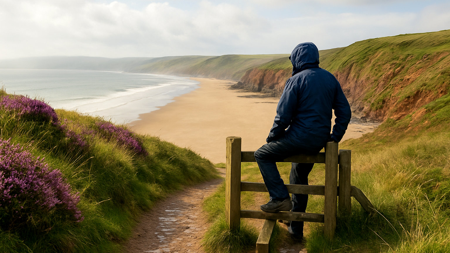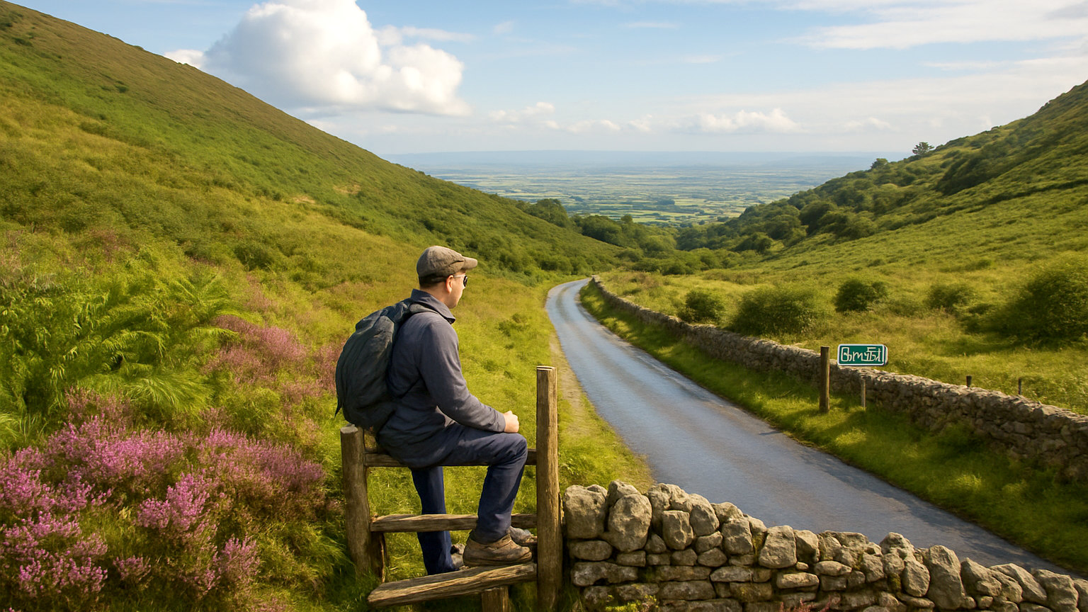
The Malvern Hills rise abruptly from the Severn plain, a narrow ridge around eight miles long made of rock roughly six hundred and eighty million years old, among the oldest exposed in England. There is no road along the ridge, which is much of why the hills remain as they are.
Which roads cross them?
Several passes cut through at low points, the main one carrying traffic over at Wynds Point beside British Camp, with others at Upper Colwall and the Wyche Cutting.
Each climbs sharply, tops out with a view opening into Herefordshire, and drops again, which makes for short but memorable driving.
What is Jubilee Drive?
A road built in the 1880s along the western flank of the hills, deliberately laid out as a scenic route with views across Herefordshire towards the Black Mountains.
It runs for a few miles between Wynds Point and Upper Colwall, is narrow with laybys, and is the best drive in the area.
What is British Camp?
An Iron Age hillfort occupying an entire summit, with ramparts terraced into the hill in a series of rings that are visible from miles away.
It is among the most impressive hillforts in England and is reached by a steep path from the car park at Wynds Point, taking around twenty minutes up.
What is the highest point?
The Worcestershire Beacon at four hundred and twenty five metres, reached on foot from Great Malvern or from the Wyche Cutting.
The view takes in the Cotswolds, the Severn, the Black Mountains and, on exceptional days, a very long way in every direction.
Why is there no ridge road?
Because the hills have been protected since 1884 by a body established by act of parliament to preserve them as open land, which has resisted development ever since.
The result is that the ridge is entirely for walkers, with a well made path running its length, and the roads only cross rather than follow it.
What about the water?
Malvern water rises from the hills and is exceptionally pure, which made the town a spa in the nineteenth century when the water cure was fashionable.
Around a hundred springs and spouts are scattered across the hills, several with decorative surrounds, and many are still flowing and free to drink from.
What is Great Malvern like?
A Victorian spa town built on the eastern slope, so steep that the streets are terraced, with a priory church holding outstanding medieval stained glass and floor tiles.
A Victorian theatre, gardens and a station with ornate ironwork complete it, and the whole town is walkable if you accept the gradient.
What is the Elgar connection?
He was born at Broadheath nearby, lived in and around Malvern for years and walked and cycled the hills constantly.
The landscape is closely associated with his music, and a signed route links places connected with him across the two counties.
Where should you stop?
Wynds Point for British Camp, the Wyche Cutting for the shortest route to the ridge, and the laybys on Jubilee Drive for the western view.
Parking is charged at the main sites and fills at weekends, and verge parking is enforced.
What is nearby?
Worcester and its cathedral fifteen minutes east, Ledbury and the Herefordshire orchards to the west, and the Cotswolds beyond the Severn.
The Three Counties Showground below the hills holds major agricultural and gardening events through the year.
When should you go?
Clear days for the view, which is the whole point, and late summer for the heather and gorse. Autumn gives colour on the lower slopes.
The ridge is exposed and the wind on it is frequently far stronger than in the valleys, so take more than the forecast suggests.
What about walking from the road?
Every road crossing has a car park and a path onto the ridge within minutes, which makes the hills unusually easy to sample. A short walk from the Wyche Cutting reaches the ridge path in ten minutes. The full ridge walk from end to end is around nine miles and needs transport arranged at both ends.