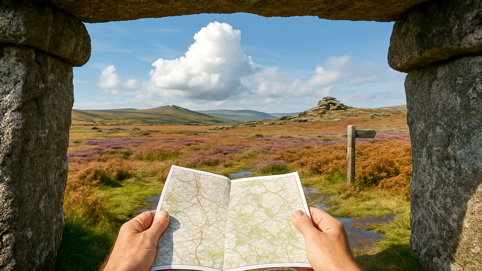
Dartmoor is the largest area of open country in southern England, a granite upland of tors, blanket bog and prehistoric remains. It is genuinely wild in its northern half, with almost no landmarks, poor drainage and a reputation for swallowing the unprepared.
What are the tors?
Outcrops of weathered granite standing above the moor, sculpted into stacked blocks, which serve as the main landmarks and the usual objectives for a walk.
Haytor and Hound Tor in the east are easily reached and busy. Great Mis Tor, Fur Tor and the tors of the northern moor take considerably more effort.
Where is the high ground?
High Willhays and Yes Tor in the north west, both just over six hundred metres, which makes them the highest points in England south of the Peak District.
Both lie within a military range, so access depends on firing schedules.
What are the firing ranges?
Three areas of the northern moor used by the military for live firing, marked by red and white posts and flagged when in use.
Firing times are published in advance and displayed locally. Never enter when the red flags are flying, never touch any metal object found on the ground, and check before setting out.
What about the bogs?
Extensive across the northern moor, particularly around the headwaters of the rivers, and genuinely difficult ground rather than a minor inconvenience.
Bright green vegetation and cotton grass indicate wet ground. Skirt it rather than crossing, and expect any route across the north moor to be slow.
What are the easier walks?
The eastern moor around Haytor, Hound Tor and Becka Falls, with car parks and clear paths. The Dart valley woodland walks around Dartmeet and Spitchwick.
Burrator reservoir, and the granite tramway on Haytor Down, which is an easy level route with industrial interest.
What are the serious routes?
Crossing the north moor from Okehampton to Princetown, the traverse to Fur Tor, and the Abbot's Way and Lich Way, both ancient routes across the high ground.
These require competent navigation, since there are stretches with no path, no landmark and no signal.
Why does navigation matter so much?
Because the northern moor is featureless, the weather closes in fast, and mist can reduce visibility to a few metres on ground with no paths.
Carry a map and compass and know how to use them. Electronic navigation is useful and should not be your only method, since batteries fail in cold and wet.
What is letterboxing?
A tradition that began on Dartmoor in the nineteenth century, in which small containers holding a rubber stamp and a visitors' book are hidden across the moor for walkers to find.
It predates and inspired geocaching, and there is an established etiquette about siting and recording boxes.
What are the rules on camping?
Dartmoor has a long tradition of backpack camping on parts of the open moor, which is unusual in England and has been the subject of legal dispute in recent years.
The permitted areas and conditions are published by the national park authority, and they change. Check the current position and the map before relying on it, and camp away from roads, leave no trace and take all rubbish out.
What is the archaeology?
Exceptional. Dartmoor holds one of the densest concentrations of prehistoric remains in Europe, including stone rows, circles, hut circles and field systems, all visible on the open moor.
Grimspound, a Bronze Age settlement enclosed by a wall, is among the most complete and is easily reached.
Where should you stay?
Okehampton for the north moor, Princetown in the centre, and Widecombe, Chagford or Moretonhampstead in the east.
There are bunkhouses and camping barns as well as inns, and Exeter is close enough to serve as a base with a car.
What about the weather?
Dartmoor generates its own, with cloud forming on the high ground when the surrounding country is clear and rainfall among the highest in southern England. Mist can arrive within minutes. Check a mountain forecast rather than a town one, and be prepared to turn back, which on featureless ground is a decision best made early.