Britain has among the largest tidal ranges on earth, and the difference between high and low water in places such as the Severn estuary and Morecambe Bay can exceed ten metres. People are cut off and require rescue every year, almost always because they did not check a tide table that was freely available and takes a minute to read.
How does the tidal cycle work?
There are two high tides and two low tides roughly every twenty five hours, which means each high tide arrives about fifty minutes later than the day before. A beach that was wide at midday today will be narrower at midday tomorrow.
The cycle from low to high takes around six hours, and the water moves fastest in the middle of that period rather than at either end.
What are spring and neap tides?
Spring tides have the largest range, with the lowest lows and the highest highs, and occur around the full and new moon, roughly twice a month. They have nothing to do with the season.
Neap tides have the smallest range and occur around the half moon. For rock pooling and exposed causeways, spring low tides give the most; for a beach that stays usable all day, neaps are safer.
Where do people get cut off?
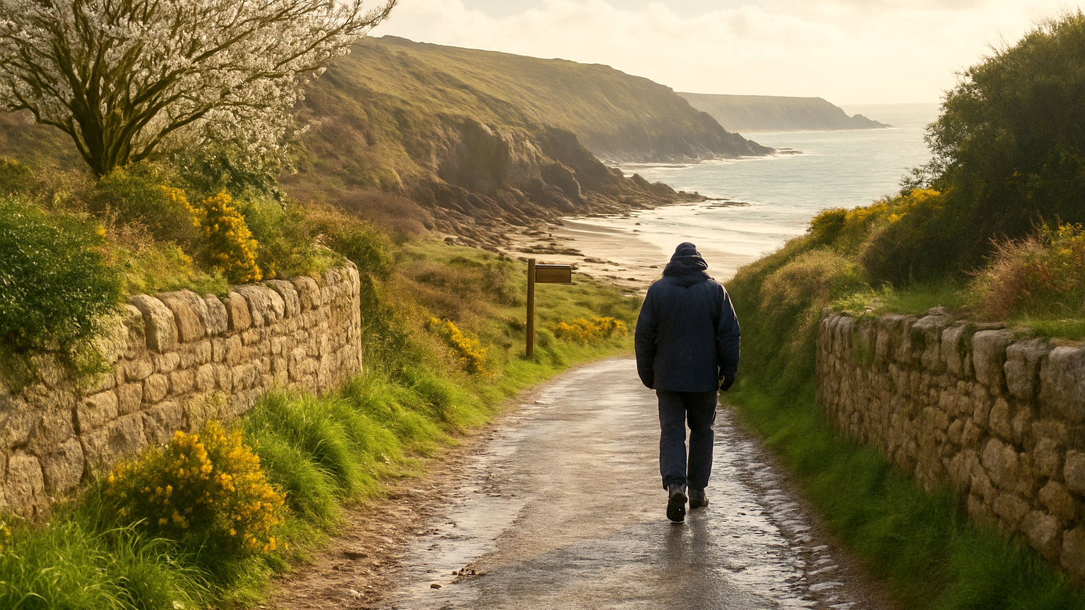
Coves reached around a headland, beaches beneath cliffs with a single access point, sandbanks, estuary crossings and tidal causeways. The pattern is always the same: an easy walk out at low water and no route back once the tide turns.
Well known examples include Holy Island in Northumberland, Worms Head on the Gower and St Michael's Mount in Cornwall, all of which have published safe crossing times and all of which strand people every year.
How do you read a tide table?
It gives the times and heights of each high and low water for a specific location. Use the table for the nearest port or beach rather than a general one, since times vary considerably along a coast.
Note that clocks change and some tables are published in Greenwich Mean Time, so check whether an hour needs adding in summer. Getting that wrong is a common and dangerous error.
What margin should you allow?
Generous. Turn back well before the published cut off rather than at it, since the sea does not arrive as a neat line and a route that is passable can become impassable ten minutes before you expected.
Wind and atmospheric pressure both affect actual water levels, so a table is a prediction rather than a guarantee. A strong onshore wind pushes water higher and earlier than forecast.
What about Morecambe Bay and similar sands?
These deserve particular caution. Large sand flats with fast incoming tides, shifting channels and quicksand have killed people, and crossing them independently is not advisable.
Guided cross bay walks led by the official guide are the safe way to experience them, and they run regularly through the summer.
How does the tide affect what you can do?
Enormously. Rock pooling needs low water and is best on a spring low. Wide sand for children needs low or mid tide. Swimming is often easier near high water when there is less distance to walk.
Some beaches essentially disappear at high tide, which is worth knowing before driving an hour to reach one.
Where do you find the times?
Tide tables are published free online and in local shops, and several apps give them by location. Beaches with lifeguards display the day's times, and tidal causeways post safe crossing windows prominently.
Check before you set off rather than on arrival, because signal on the coast is frequently poor.
What is the simple rule?
Know when the next high tide is and where your exit is, before you walk out. If you cannot answer both of those questions, do not go round the headland.
If you do get cut off, do not attempt to swim or climb the cliff. Stay put somewhere above the water line, call 999 and ask for the Coastguard, and wait. Rescues from that position are routine; rescues from the water are not.